MONICA RICH KOSANN Trunk Show this Saturday - March 1, 2025 - 12 - 4 >>
MONICA RICH KOSANN Trunk Show this Saturday - March 1, 2025 - 12 - 4 >>

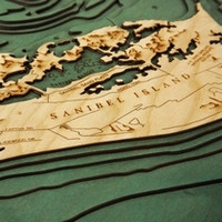
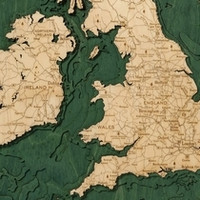
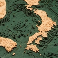
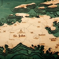
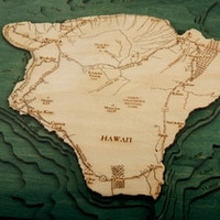
Nautical Wood Maps are 3D bathymetric wooden charts laser carved in Baltic Birch wood to create decorative pictures & scientifically accurate works of wall art. The finishing techniques bring out the natural grain of the wood. Unless noted otherwise, all maps are framed in solid wood and displayed behind Plexiglas. Every map arrives ready to hang. Bathymetric charts are the nautical equivalent of a dry land topographic map. Our charts show submerged terrain (oceans, bays, sounds and lakes). Bathymetric charts typically are used in marine geology, engineering and other scientific purposes. Our maps are also known as wood nautical charts, lake art, 3d lake art and wood carved charts. Maps include locations such as the Great Lakes, San Francisco Bay, Lake Tahoe, Chesapeake Bay, Lake Michigan, Cape Cod, Martha's Vineyard and more.
Discover MoreCustom Map Inquiries Here
+ Many Other ‘Member Only’ Benefits.


